Before the Highways: The North Tarrant County History That Predates Every HOA
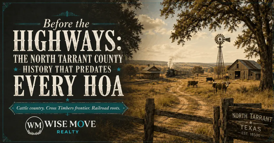
Quick Answer: Tarrant County was established in 1849 from the Peters Colony land grant and settled by farmers and ranchers from Tennessee, Virginia, and Kentucky. The land now occupied by Keller, Haslet, and North Richland Hills was cattle country, Cross Timbers frontier, and small railroad towns for over a century before the first subdivision broke ground.
Most people who live in this corridor couldn't tell you who John C. Keller was. He's the reason the city is called Keller and not Athol — and that story alone is worth knowing. This area has a real history. Not the kind that gets a monument in front of a Chick-fil-A, but the kind that's actually underneath everything you see right now — the soil, the street names, the creeks, the cattle. It predates every master-planned community, every parkway named after a developer, and every HOA covenant by about 175 years.
The Land Before Anyone Platted It
Native American tribes lived in north central Texas for centuries before the area was settled in the mid-19th century by Anglo Americans. The Wichita, Comanche, Caddo, Waco, Tonkawa, and Cherokee tribes camped and roamed the region, as did smaller tribes including the Kiowa. They weren't passing through — they were using this land deliberately, following a network of trails and settling near the waterways and springs that made this pocket of North Texas worth staying in. City of Fort Worth
After immigrants from Tennessee, Virginia, and Kentucky settled in the region following an 1843 treaty, they found abundant water and good farmland. That combination — water, grass, workable soil — is why North Tarrant County became what it became. Not proximity to a highway. Not a developer's vision. The land itself made the decision first. Texas State Historical Association
Local Note: The Trinity River and its tributaries aren't just drainage infrastructure. They're the reason this corridor was settled where it was. The waterways dictated every early homestead location across what is now Keller, NRH, Haslet, and the Alliance area.
When Keller Was Just Two Springs and a Prayer
Double Springs, two miles north and east of the present site of the community, was settled in the early 1850s. The Lonesome Dove Baptist Church sent some members, among them Daniel Barcroft and Permelia Allen, to establish the Mount Gilead Baptist Church in 1852. That church was both a house of worship and the first school in the area. It was also burned in an Indian raid in 1859 — a reminder that this was a genuine frontier and the people who built it knew it. Texas State Historical Association
In the early 1870s, the Double Springs area had a cotton gin, a grist mill, a blacksmith shop, and several stores. That's the entire economy of what would become one of Tarrant County's wealthiest cities — a gin, a mill, a blacksmith, a few stores, and two springs. The settlers raised hogs in the dense Cross Timbers oak forest because the acorns were free and plentiful. They grew corn, wheat, and peaches. They built their homes from lumber hauled in by wagon from Grapevine because the local wood wasn't suitable for construction. Wikipedia
Then came the railroad. The real turning point in Keller's history came in 1881, when the Texas and Pacific Railway laid tracks through the region, transforming a quiet settlement into a growing community. The town was called Athol at the time. Citizens agreed to rename it Keller — after John C. Keller, a foreman on the railroad — if the settlement became an official stop on the line. It did. The name Athol disappeared from the maps. Texas Happens
Local Note: The streets of the original 1881 town site still carry the names given to them that year — Lamar, Main, and Elm running north-south; Price, Taylor, Hill, Vine, Bates, Olive, and Pecan running east-west. If you've ever driven Old Town Keller, you've been on streets that haven't changed names in 145 years. Wikipedia
The Irishman Who Almost Kept the Railroad Out of Haslet
Charles L. Maloney, a native of Ireland and resident of the Haslet community since 1882, came to the Blue Mound area with his brother-in-law and bought a barren tract of land 15 miles north of Fort Worth — the present site of Haslet. Maloney began raising shorthorn Durham cattle and had one of the first herds in the county. Haslet
When the Santa Fe Railroad representative came to the Maloney ranch seeking a right-of-way, Maloney refused. He told them to let the wheels of progress roll across someone else's property. Later, Mrs. Maloney said it would be nice to be able to ride the train in to Fort Worth. Maloney saddled up his horse, rode down to the railroad, and told the workmen they could go through. Haslet
That's how Haslet got a railroad. An Irish rancher's wife wanted to take the train to Fort Worth. The community was ultimately named for the Michigan hometown of the railroad's contractor — not for anything that happened here, just for where the man building the line came from. It's a detail that says something true about how this area was built: by practical people making practical decisions, not grand gestures. Texas State Historical Association
Reality Check: Haslet had a population of 67 people in 1903. The growth you're watching happen around Alliance right now — the warehouses, the industrial parks, the new residential tracts — is not this area's first wave of change. It's the latest one. The land has absorbed several of them.
The Dairy Farm That Became North Richland Hills
This one is easy to miss if you live in NRH and you're not paying attention. The area remained a rural farming and ranching community for more than 100 years. In 1952, Clarence Jones began to subdivide his 268-acre dairy farm into a suburban addition in the area that is now Cummings Drive. North Richland Hills
One man's dairy farm. That's the origin point of the fourth-largest city in Tarrant County.
In 1953, the North Richland Hills Civic League sought to have the area annexed to Richland Hills, then voted to form their own city when annexation was denied. An election was held, and the 268 acres of the Jones Farm, with a population of 500, became officially incorporated as the City of North Richland Hills. North Richland Hills
By 1960, the population of North Richland Hills was 8,662 residents, with that number doubling to 16,514 by 1970. In less than 20 years, a dairy farm became a city of nearly 17,000 people. North Richland Hills
Pro Tip: Rufe Snow Drive — the major north-south corridor through NRH — is named for Rufus Snow, a farmer and county commissioner who served the area from 1867 to 1957. The street you take to run errands was named for a man who farmed that land. Most people who drive it every day don't know that.
Why This History Belongs in the Conversation
Here's what I want people who live in this corridor to understand: the character of this place didn't come from a master plan. It came from people who worked the land for generations, who named things after their churches and their springs and the railroad foremen who gave them a connection to the outside world.
The Cross Timbers didn't disappear — it shaped the geography you're living in. Four natural regions are found from east to west across Tarrant County: the Blackland Prairie in the southeast, the Eastern Cross Timbers with its blackjack and post oak, the Grand Prairie, and the Western Cross Timbers. Those natural regions are the reason certain neighborhoods feel different from others, the reason certain streets bend around ridgelines and creek beds, the reason some parcels in this corridor have soil that old ranchers wouldn't farm twice. Texas State Historical Association
The highways came later. The HOAs came much later. What was here first was harder, simpler, and more rooted to the actual ground than any deed restriction will ever be.
Frequently Asked Questions
How old is Tarrant County?
Tarrant County was established on December 20, 1849. It was named for General Edward H. Tarrant, commander of militia forces of the Republic of Texas at the Battle of Village Creek in 1841. It was one of 26 counties created out of the Peters Colony. The county was formally organized in August 1850 when the first elections were held — at Traders Oak, a massive live oak tree that served as Fort Worth's first trading post. Tarrant County
What was in Keller before it was a city?
Keller began as Double Springs, a small settlement in the early 1850s named for two natural springs in the area. Before the Texas and Pacific Railway arrived in 1881, the community had a cotton gin, a grist mill, a blacksmith shop, a Baptist church, and a few stores. It was cattle and farming country in the Cross Timbers, with settlers of Scots-Irish, English, and Southern descent. The town was officially renamed Keller — from Athol — in 1882. Texas State Historical Association
When did North Richland Hills become a city?
North Richland Hills was incorporated in 1953, formed from 268 acres of the Clarence Jones dairy farm. The area remained a rural farming and ranching community for more than 100 years before that first subdivision broke ground in 1952. It grew from 500 residents at incorporation to over 8,600 by 1960. North Richland Hills
Were cattle drives a real part of North Tarrant County history?
Yes, and they weren't a distant footnote. From the close of the Civil War and through the late 1870s, millions of cattle were driven up the trail through Tarrant County, roughly following what is now Interstate 35W, to the railheads in Kansas. Fort Worth existed largely as a supply and entertainment stop for trail drivers. The corridor you drive today follows approximately the same northward route those herds took. Tarrant County
How did Haslet get its name?
Haslet was named for the Michigan hometown of the railroad contractor who extended the Gulf, Colorado and Santa Fe Railway through the area in 1883. It has nothing to do with the land, the settlers, or the history of the place itself. It's a borrowed name — a detail that's surprisingly common in small North Texas towns where the railroad arrived and named things after whoever built the line. Texas State Historical Association
The Ground Beneath All of It
I've worked in this market for over two decades. I've driven every back road between Keller and Decatur, walked land in Justin that still has old fence lines from when it was all open range. What I know is this: the people who understand this corridor the deepest — not just the prices, but the place — are the ones who make the best decisions about it.
The history doesn't change what your house is worth. But it does change what you understand about where you're living, and that's not nothing. This land has been farmed, grazed, railroaded, subdivided, and developed in waves — and it's still worth knowing what it was before any of that happened.
Ready to talk through your next move? Schedule a conversation at WisemoveTX.com.
Joy Rhodes | REALTOR® WisemoveTX.com joy@wisemovetx.com TX License #0622809
Categories
- All Blogs (65)
- Commercial / Investors (20)
- Equity & Investment Strategy (5)
- Family & Community (6)
- Food & Dining (3)
- Market Insights (25)
- Neighborhood Spotlights (11)
- North Fort Worth Growth & Development (6)
- North Texas Living (15)
- Outdoor Life & Recreation (4)
- Residential Buyers (27)
- Residential Sellers (24)
Recent Posts